Cutting-Edge GIS Analysis
Geospatial analytics are at the core of our work for local government.
Leverageing Insights With GIS
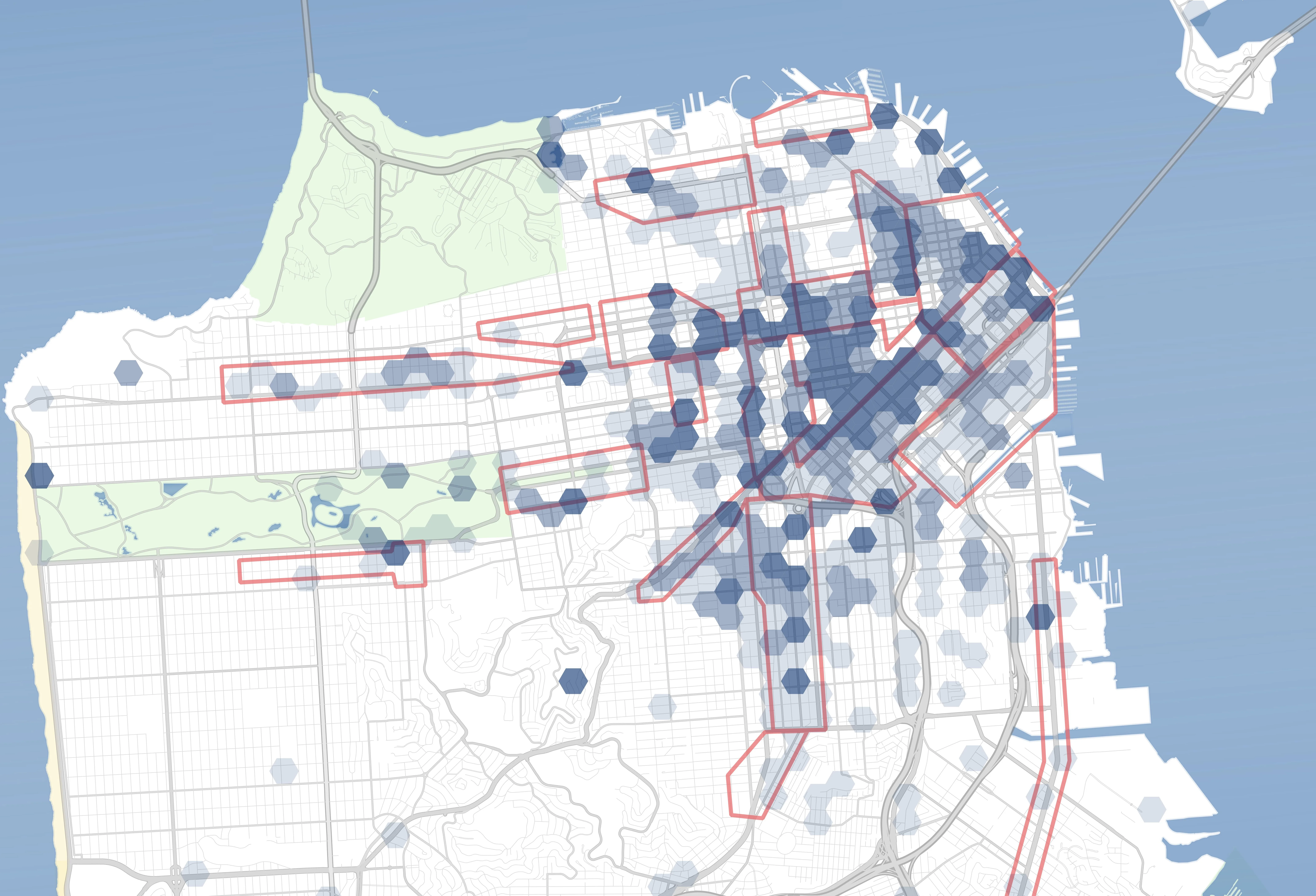
GIS is a critical mode of analysis throughout much of our work, powering insights across a wide range of local government service areas.
- Redistricting
- Improve operations by equalizing workload and aligning services to communities.
- Equity Analysis
- Identify service level equity issues using geospatial analysis.
- Fire Station Location
- Determine coverage with travel time analysis and future road network projection.
- Data Visualization
- GIS-based analysis is used across much of our work for local governments.


Contact MCG
Get in touch with us today to discuss your needs for geospatial analysis.